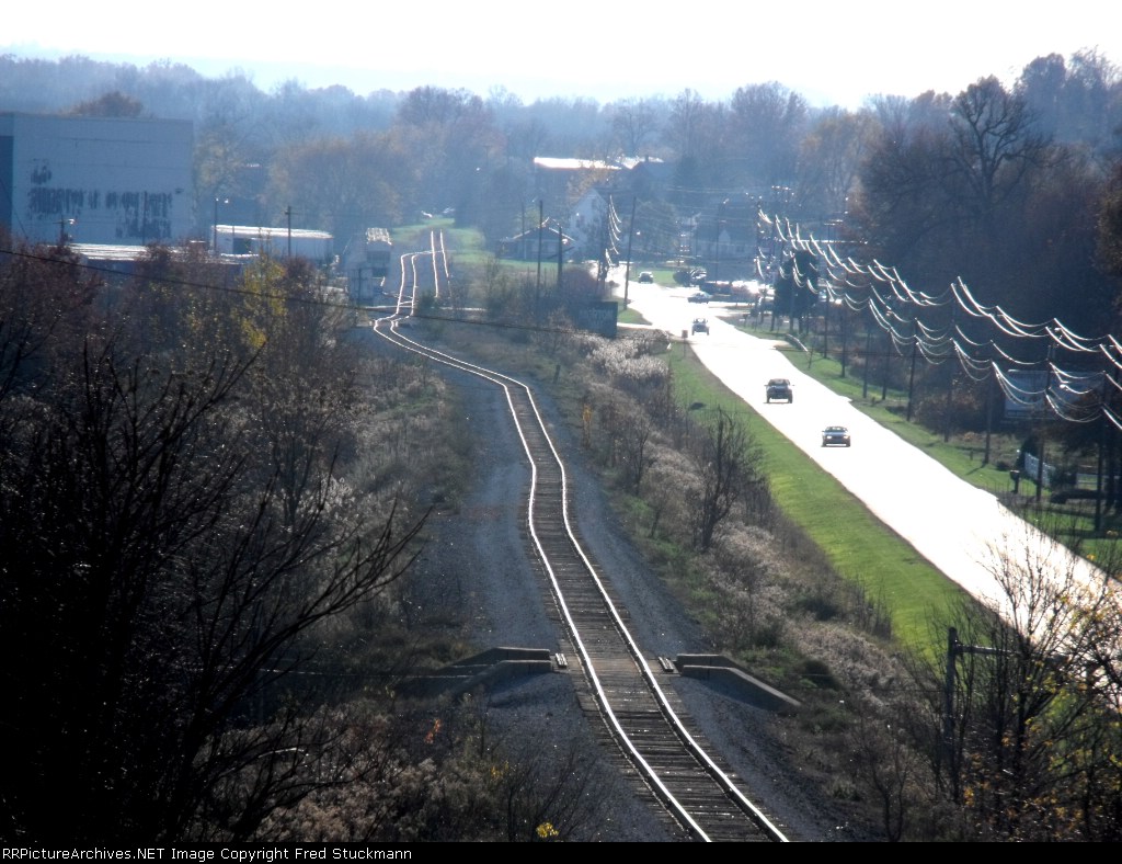
| The track that extends farthest to the west was the eastbound. To the right of that you can see the Rittman Restaurant/Depot. Covered hoppers are in #6. #5 is to the right of them. The tracks were never that contorted until Conrail got a hold of them. Bridge in foreground crosses Wayne County 70. It was rebuilt in 1985 after the second track was removed. We interchanged with the B&O/Chessie here and they serviced Morton Salt and Packaging Corporation of America. |
| Date:
11/1/2009 |
Location:
Rittman, OH Map  |
Views:
502 |
Collection Of:
  Fred Stuckmann
 |
|
Author: Fred Stuckmann
|
 |
| Picture Categories: Track |
This picture is part of album: EL Boneyard, Rittman to West Salem, revisited 2013. |